Geographicae enarrationis libri octo
Claudius Ptolemaeus
Melchior e Gaspar Trechsel
Lyon
1535
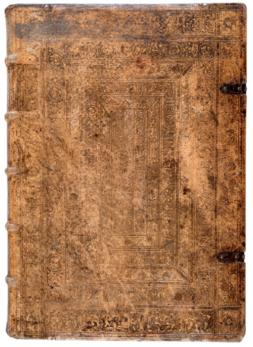
in-folio (426 x 303 x 55 mm)
Inv. 0740
Catalogue N. A664
Description

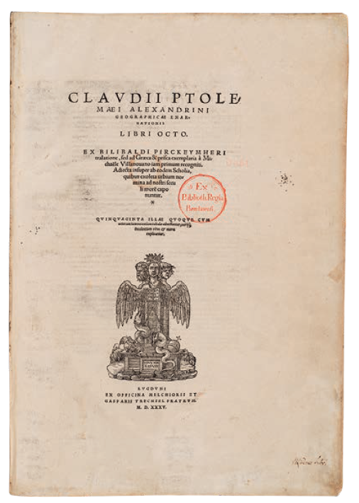
Claudius Ptolemaeus, Geographicae enarrationis libri octo, translated by Wilibald Pirckheimer, edited by Michael Villanovanus [Servetus], Melchior and Gaspar Trechsel, Lyons 1535, folio
This prestigious volume is the “Editio Prima Serveti” - that is, the first edition with a commentary by Michael Servetus (1511-53) - of Claudius Ptolemy’s (100-178 AD) renowned Geography. The magnificent atlas is divided into three parts. In the first, the text comprises the new Latin translation by the humanist Wilibald Pirckheimer (1470-1530), which also appeared in the previous edition of 1525. It is here accompanied by the commentary by Servetus, who had already been suspected of heresy and was therefore forced to use the pseudonym “Michel de Villeneuve”, which he also adopted for his antitrinitarian works. Servetus was a leading anatomist as well as a geographer. Although his description of blood circulation in the lungs predated the description by William Harvey by many years, he enjoyed very little recognition as his works were destroyed after he was condemned for heresy. The second part of the volume comprises all the maps, while the third and final part is devoted to a comprehensive index.
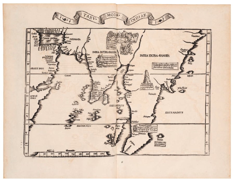
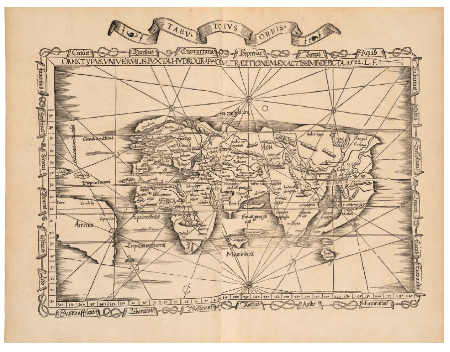
The beautiful woodcut maps were produced by Laurent Fries (1485- 1532) who, in most cases, simply reduced the size of the equivalent maps by Waldseemüller published in the 1513 edition of the Geography. Fries also prepared three new maps for his atlas. The first is the new map of the world “Orbis Typus Universalis”, with geographical information obtained from Waldseemüller’s large map of the world dated 1507 (where the name “America” is mentioned for the first time in one of Ptolemy’s atlases). The second and third are the maps of South-East Asia and of China - the first separate maps ever printed of these regions. The wood blocks used for the maps were employed for the first time by Fries in 1522. Twenty-seven of the plates in the volume can be associated with the geographical concept developed by Ptolemy, and show the geography of the ancient world. Twenty-three are of modern conception, contemporary to the publication, and are based on geographical information available in the early 16th century. The text on the verso of the map of the Holy Land has generated heated debates, as it describes the territory as “a land that is not so fertile as generally believed, since modern travellers reported it to be sterile”. Yet, this statement cannot be attributed to Servetus, and comes instead from the notes made by Johannes Regiomontanus on the 1525 edition of the Pirckheimer translation. Many of the first three editions were burned, leading Servetus to remove a few of the textual passages on the verso of the maps. Servetus was nevertheless condemned to the stake by Calvin in 1553, because of his doctrinal heresies, even though the original text was in fact by Pirckheimer.
Roberto Cena